Overview
States and provinces have varying approaches and resources for managing the risks from orphaned oil and gas wells. Available funds are insufficient to mitigate (by plugging) all known orphaned wells across the U.S., not including undocumented orphaned wells. As such, state and tribal agencies need efficient strategies to find orphaned wells, collect and document adequate information to characterize them, and prioritize plugging operations to optimize reductions in environmental impacts. In Spring 2022, the CATALOG team received responses from a questionnaire distributed to state representatives from the Interstate Oil & Gas Compact Commission (IOGCC). The questionnaire was designed to determine what factors are important to consider, and what the states’ priorities are, with respect to orphaned wells. Results are described in O’Malley et al. (2023), but in summary, some of the biggest data needs/gaps were identified as location, ownership, well construction, mechanical integrity, surface impacts, and methane emissions. Factors that states consider in ranking orphaned wells for priority plugging include leaking fluids, proximity to people and water, age and construction, mechanical integrity, wellhead pressure, hazards to wildlife and navigation, and economic efficiencies. There are clear opportunities for the CATALOG team to provide tools and technologies to fill in the knowledge gaps toward developing more effective plugging prioritization strategies.
An efficient transfer of knowledge gained as part of the CATALOG program is needed to enable the transition of research & development results into practice. The primary challenges associated with knowledge transfer include standardization and integration of data needed for application of UOW identification and monitoring tools, verified results from field testing, and descriptions of best practices for locating and characterizing UOWs on a region-specific basis. The objectives of the activity under this work package are to provide integrated and standardized data and to develop best practices recommendations for well finding, emissions measurements and characterization methodologies for use by Federal, State, and Tribal agencies.
Objective
Short Term Impact:
- Initial framework for integration: Provide means for state agencies and operators to access records and information that will assist in locating and characterizing UOWs
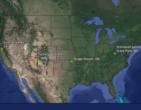
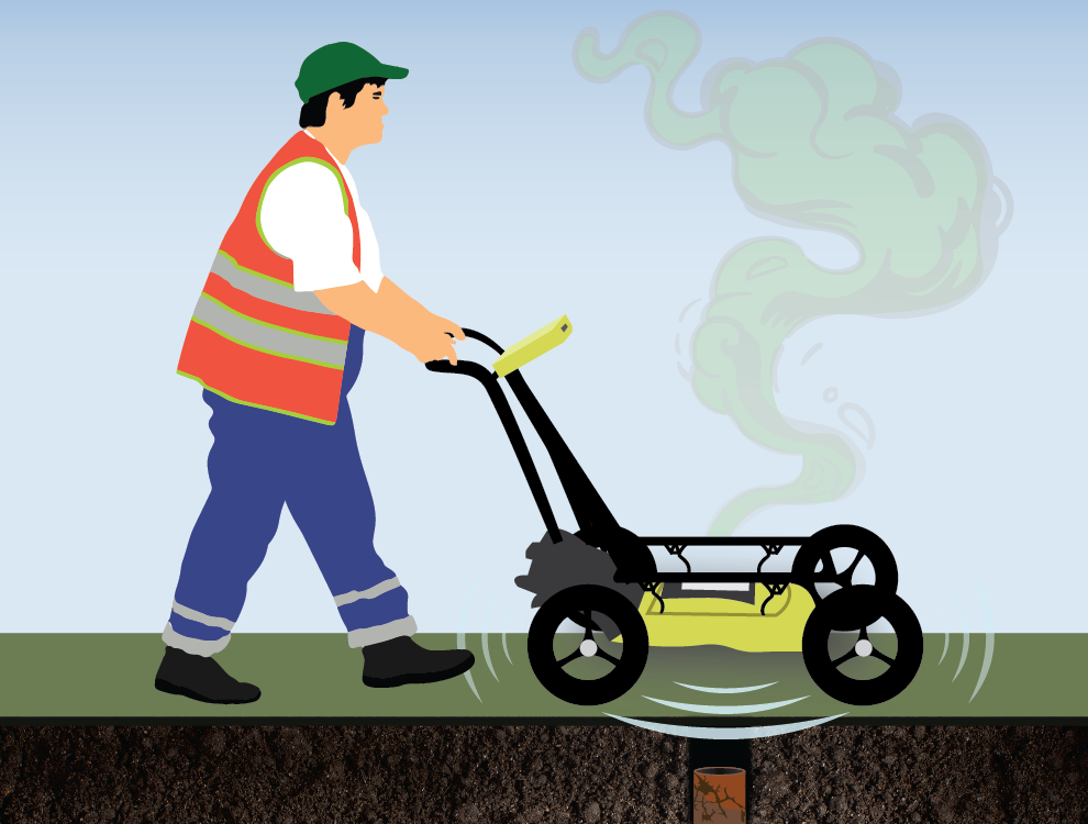
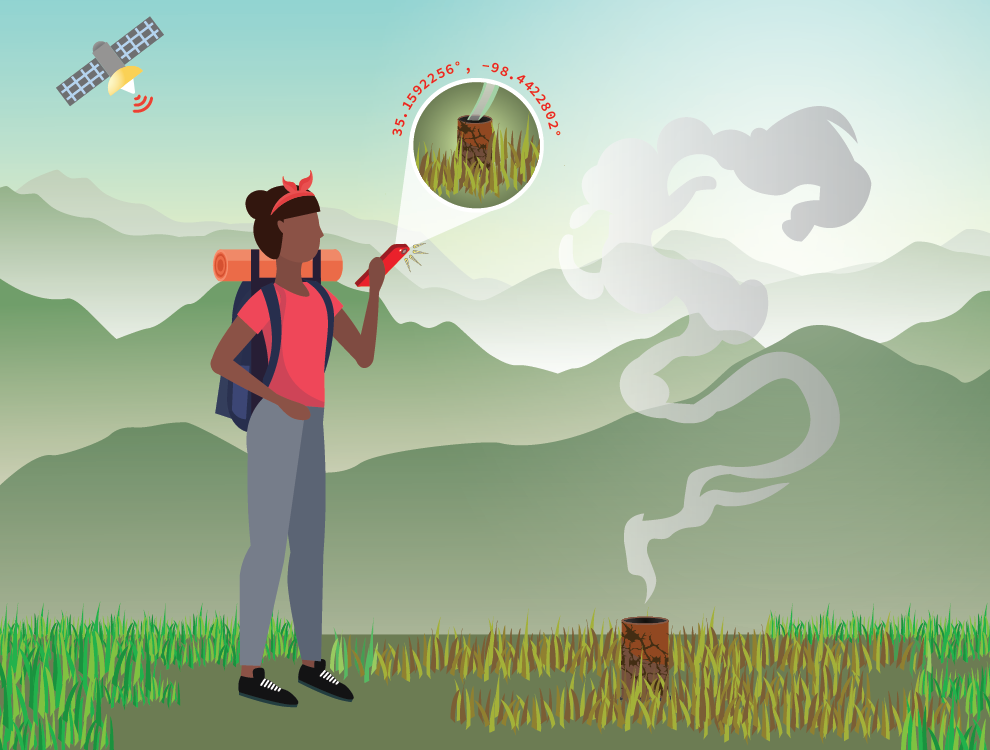
- Establish stakeholders that will assist with field demonstration: Establish field sites for testing and demonstration of integrated well finding and characterization technologies from various platforms: aerial, ground surveys, direct measurements, etc.). Demonstrate and report on progress/results of testing (with known well information and/or blind).
- Develop template for outline and basic framework for best practices: Review and recommendation of best practices for well finding, emissions measurements, and well integrity testing.
Long term impact:
- Disseminating research results into best practices guidance
- To make research products consumable on multiple levels, the WP5 team will communicate with WP leads, collect information and results, and share them in a format that is appropriate for our stakeholders on the CATALOG website.
- Have the following data available for public consumption on the CATALOG Website:
- Use of downwind methane concentrations measurements and wind field measurements to model and estimate orphaned well methane emissions: The methodology will continue to be tested, and findings and guidance on the approach will be shared.
- Procedure for locating oil and gas wells in the Appalachian Basin that utilizes a compilation of publicly available digital resources: The methodology will continue to be tested and expanded for other regions of the U.S.
- Best practices for aerial magnetic surveying for well finding: recommendations will be summarized from the journal article (Hammack et al., 2023)
- Automation of the procedure for locating oil and gas wells that utilizes a compilation of publicly available digital resources: There are opportunities to automate this process using machine learning techniques. WP3 has initiated efforts to pick well features from topographical maps using ML. Results will be shared via journal articles (in development) and on the CATALOG website.
- A procedure for assigning a probability or risk factor to potential well sites will be developed as a follow-up to the process for compiling digital resources to find well locations. Based on agreement between various resources, potential well sites will be assigned a higher or lower confidence in the accuracy of the location.
- Identification of field testing and demonstration sites will continue with ongoing communication with project PIs.
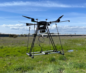
- Field testing and demonstration of deploying drones with a multi-sensor payload, started late in year 1, will continue in year 2. Ultimately the results of the testing will be shared in best practices guidance in a future year.
Accomplishments
Activity 1: Data Integration
- A report of differences in state-to-state definitions and development of a common understanding of terminology was completed, with the intention of guiding the national discussion and allowing direct comparison of research conducted in multiple states
- A stakeholder engagement plan was devised by Sandia and put into action to contact New Mexico agencies and the Department of Interior for interviews
Activity 2: Field Demonstration
- Questionnaire regarding the needs of CATALOG research teams for field testing and demonstration sites was distributed to research project leads
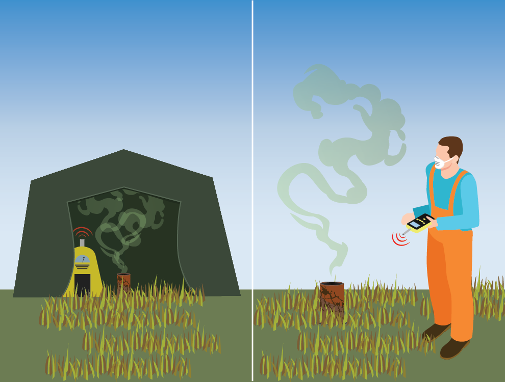
- An initial field demonstration of several methane emissions measurement techniques was conducted at Hillman State Park, PA
- Field testing is planned for Kentucky’s Daniel Boone National Forest: testing of well finding approach that uses a compilation of digital resources and route planning optimization, and emissions measurements will be collected at wells that are found
Activity 3: Review and recommendation of best practices
- A whitepaper titled “Procedure for locating oil and gas wells in the Appalachian Basin” is under review and will be finalized next quarter
- Reports and datasets were compiled for the best practices guidance document on magnetic surveying for well location
Research Products
TBD
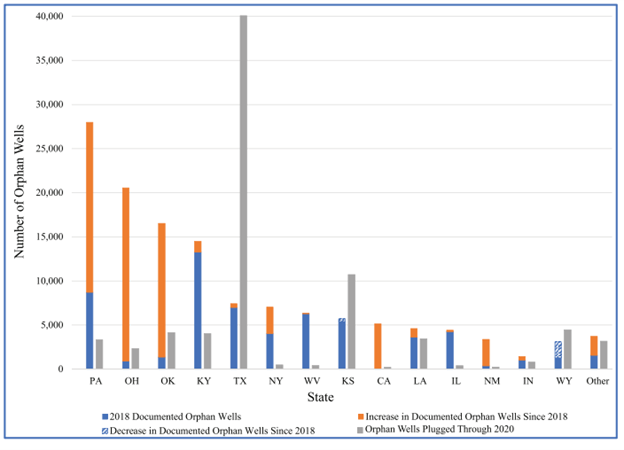
Documented orphaned wells as of IIJA enactment, from IOGCC (2021).
Contacts
Natalie Pekney
National Energy Technology Laboratory
Natalie.Pekney@netl.doe.gov